

Boundary
Village of Westfield NYF Boundary Map
To be eligible for NY Forward funding, projects must be located within the Westfield NYF boundary. The boundaries may be amended following review of proposals submitted during the Open Call for Projects.

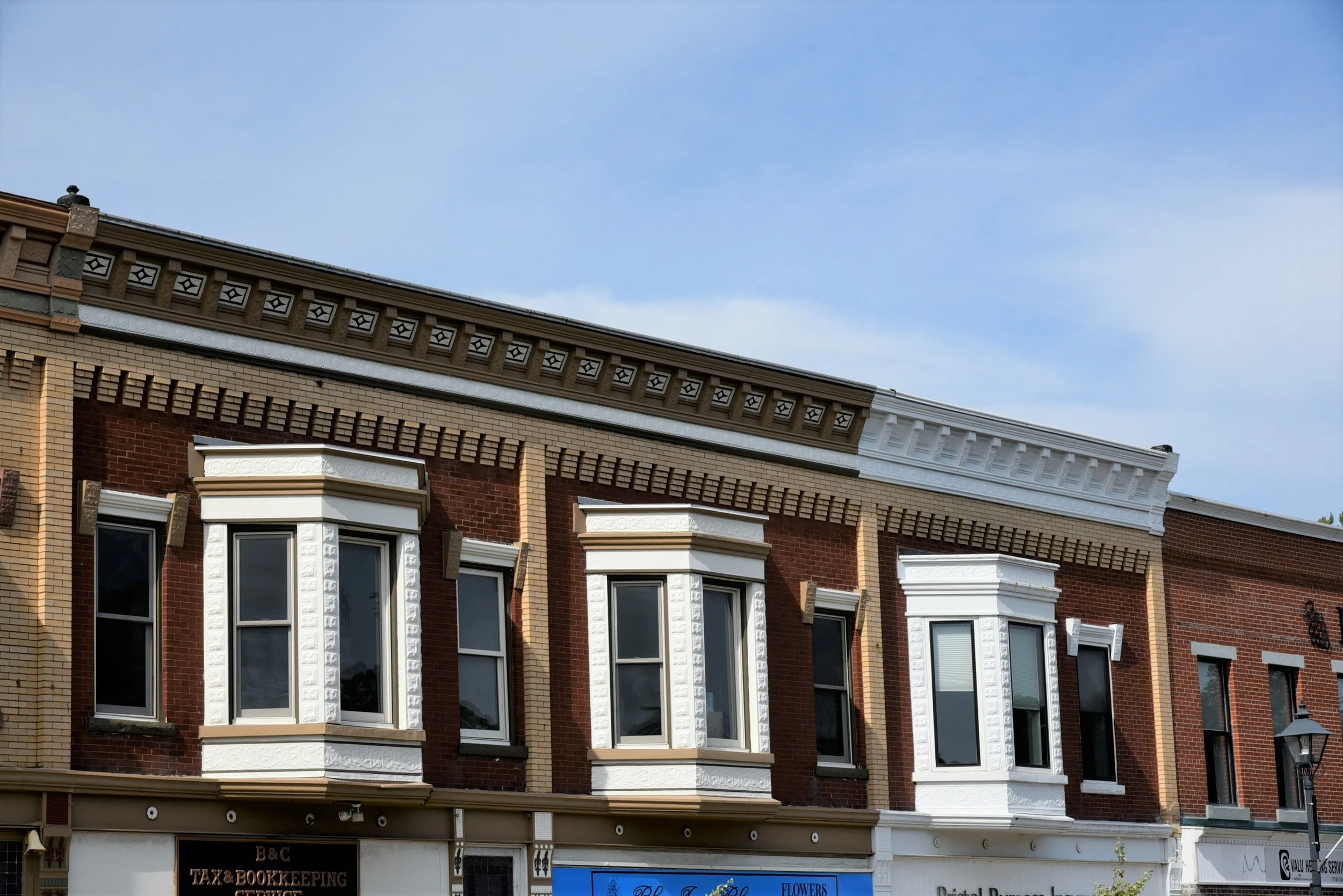
The Westfield NY Forward (NYF) Area is centered on the Village’s historic downtown, primarily along Main Street and North & South Portage Street, encompassing key commercial, civic, and cultural landmarks. This compact, walkable area includes historic storefronts, local businesses, public parks, and mixed-use buildings that contribute to Westfield’s character and vitality.
Covering approximately 96 acres and 209 separate parcels, the area is approximately 0.75 miles in length. The NYF Area is bounded by Chautauqua Creek and Water Street to the west, Union Street to the southeast, Holt Street to the northeast, First Street to the south, and the Welches plant to the north, with a minor extension along North Portage to Bourne Street. The area reflects Westfield’s role as a cultural and economic anchor for northern Chautauqua County.
With NY Forward support, Westfield will strengthen its downtown as a hub for culture, entrepreneurship, community gatherings, and high-quality living.
Stay Updated
Sign up for email updates.